|
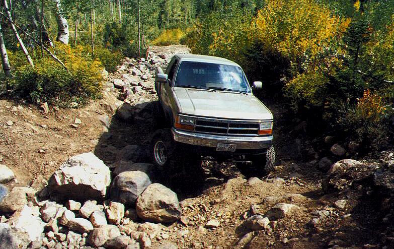
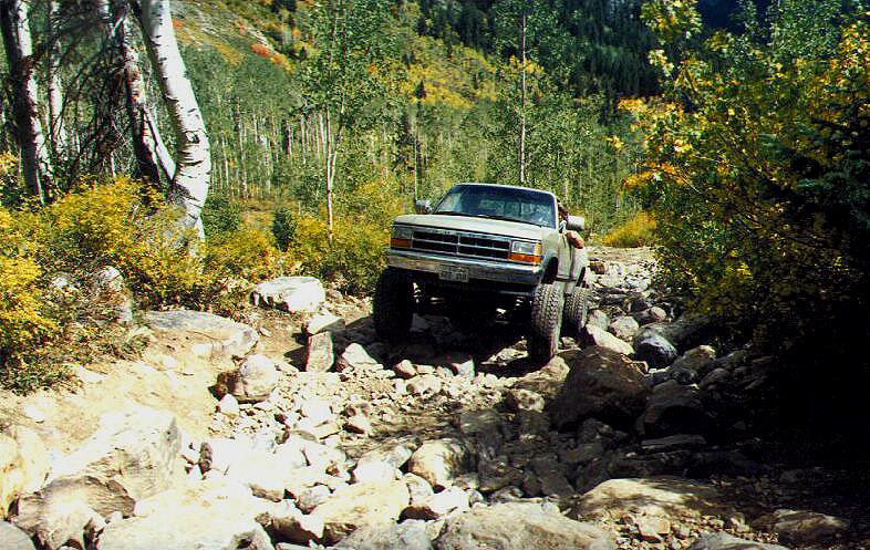
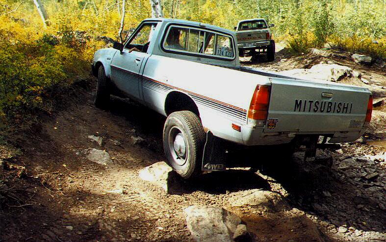
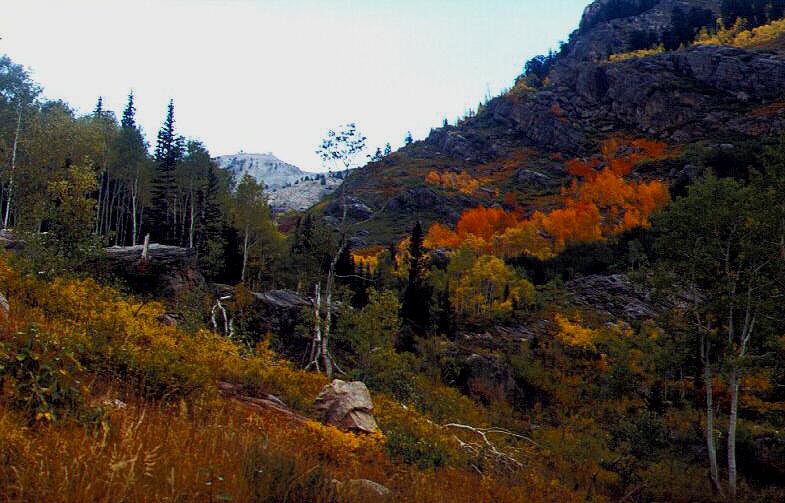
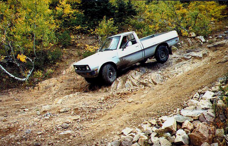
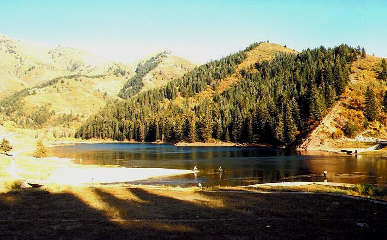
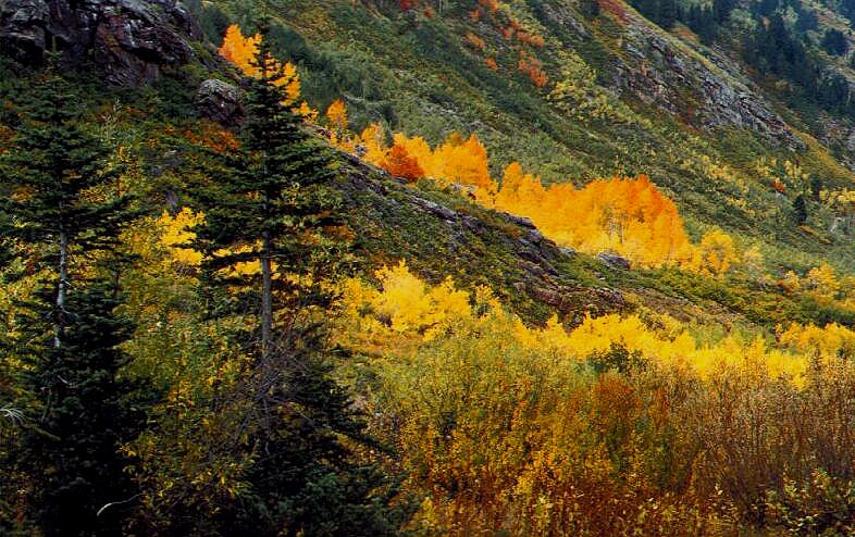 This is
some bone jarring 4 wheeling. Believe me, when you get through playing
in American Fork Canyon, you will be ready to relax. Mineral Basin is
the canyon just to the north of Miller Hill. It is some of the hardest
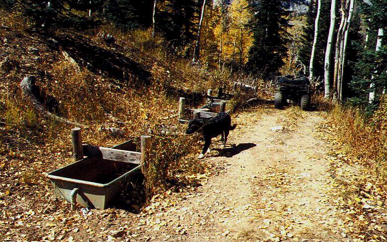
4 wheeling I've found in northern Utah. Just after passing the old Pacific
mine you start into the Rock Garden. It is not intended for stock vehicles
or the faint of heart!
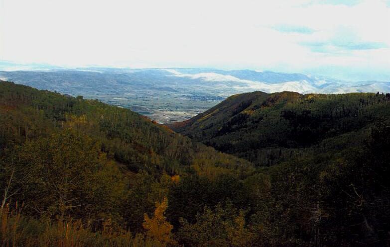
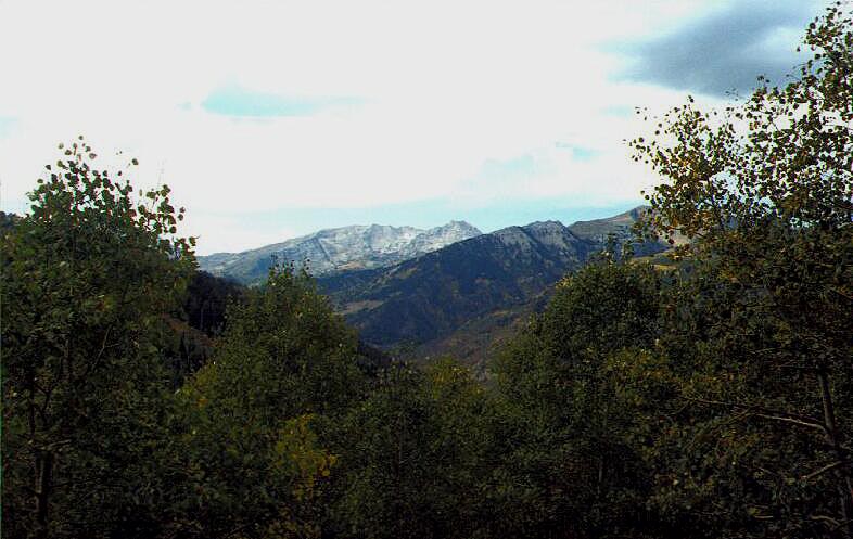
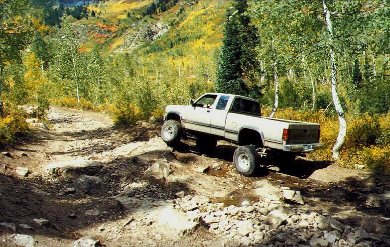
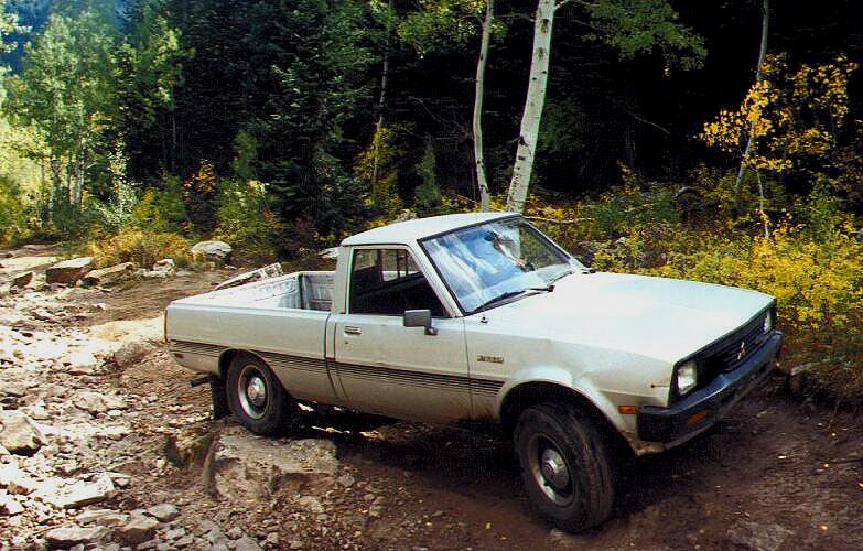
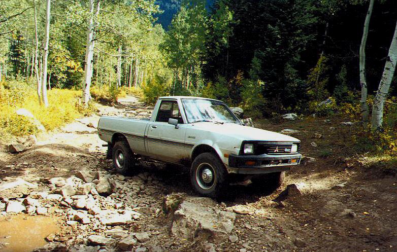
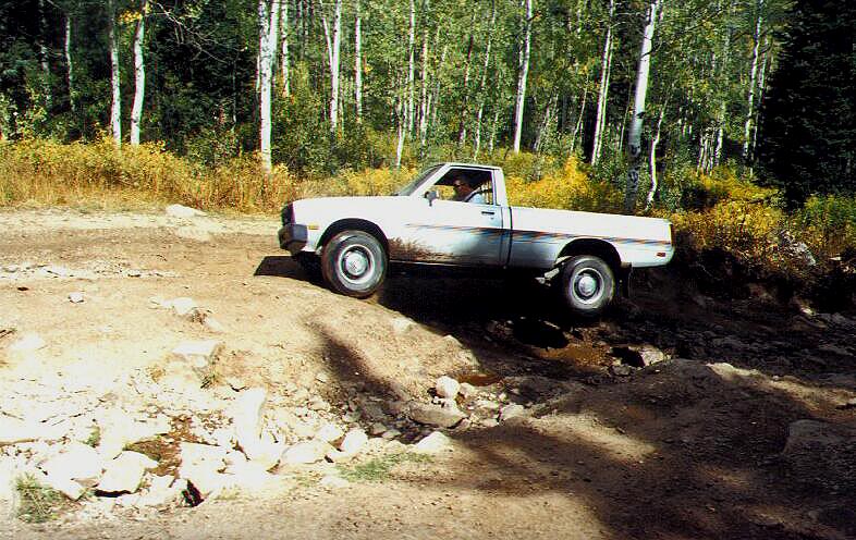
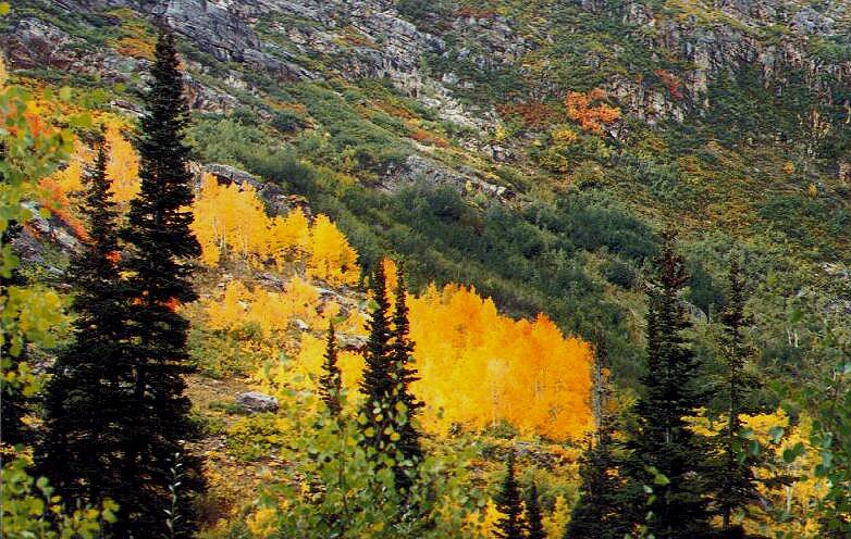
The roads in Mineral Basin and on Miller Hill are not suited for stock vehicles. Only quality four wheel drive vehicles with experienced drivers will be able to get through the Rock Garden. And even then, broken vehicle parts and dents can be expected. The roads up Miller Hill are very narrow and wider wheel base vehicles should be careful to not get too close to the edge for fear of rolling off of the mountain. This is very remote location and if you have trouble it would take some time for anyone to find you and several hours for emergency crews to come to your aid. When going to a place such as this, if you are without a companion vehicle, be sure to let someone know where you will be and when you are expected to return. Do NOT enter old mine shafts! These old mines are unstable and could collapse. They may also have poisonous gasses and hidden shafts. There have been people in the recent past killed by falling in hidden shafts. Don't chance your life by going in the mines!
Damage from this Trail:
Bent new wheel on the rocks in the Rock Garden
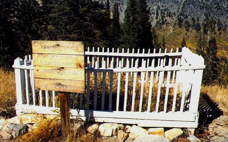
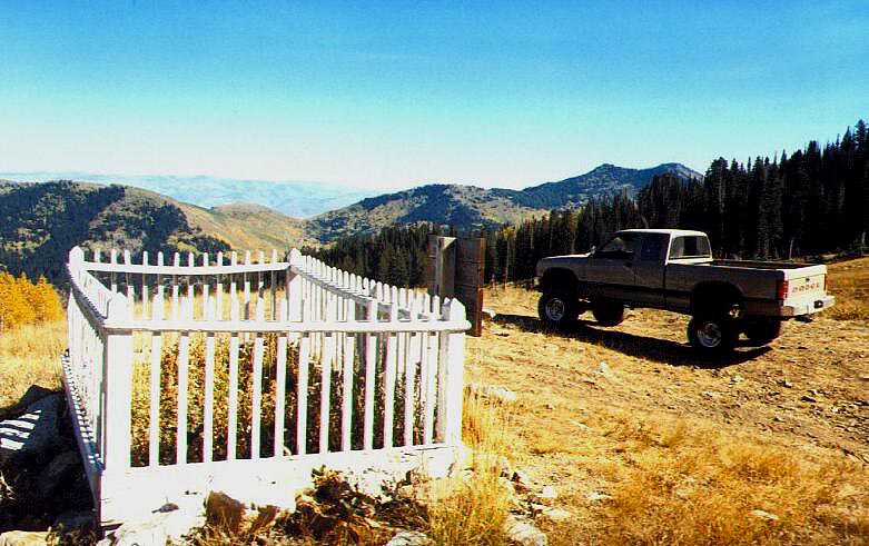
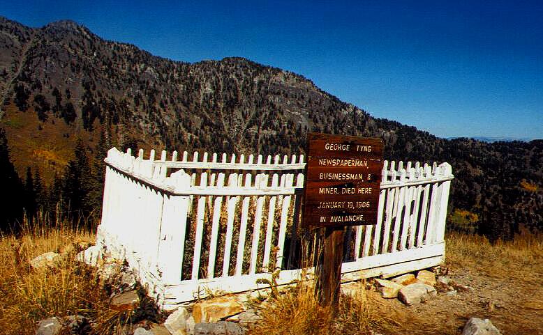
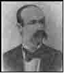
Articles about George Tyng George Tyng Kingsmills Visit Pampa in 1902
George Tyng Left
Tragedy in American Fork Canyon
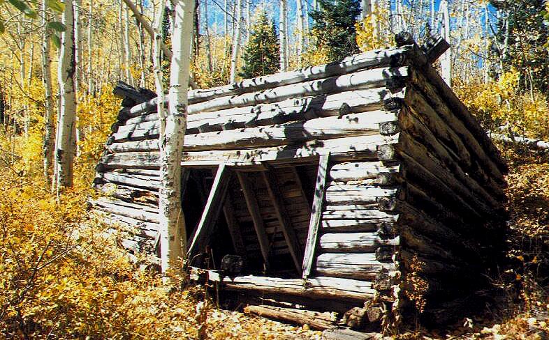
On September 27, 2015, I received an email from Kurt Williams. He inquired about a photograph of a cabin I had taken years ago in American Fork Canyon. I moved to Florida in December 2008 so it has been years since I have been up the canyons in Utah. Kurt and his 4x4 friends are making a difference in the canyons. They have restored the picket fence around George Tyng's grave and another grave yard at what is called "Grave Yard Flat" in Major Evans Gulch. I am very appreciative to people who do this. I believe that we should leave all of our beautiful places better than we found them. Our history belongs to all of us and when anyone destroys of piece of that history it effects all of us! So, Thank You Kurt and all of your friends! Below is the email exchange between Kurt and me and also some photos he emailed me. Hello Jay, I hope this finds you well. - Kurt
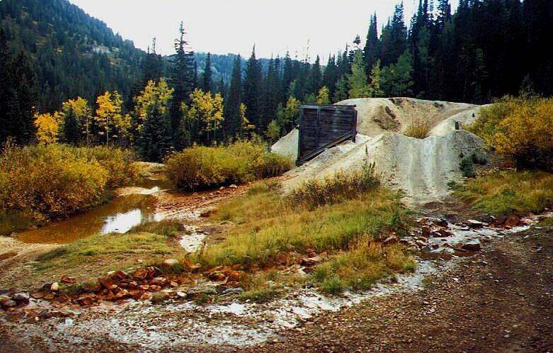
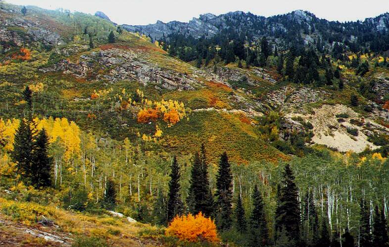
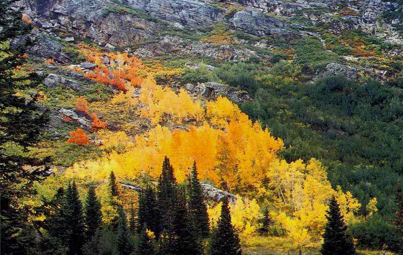
Hi Kurt, I am so glad to see that you and others are taking a concern about George Tyng’s gravesite. Several years ago, someone took the fence down that surrounded the children’s graveyard at Major Evans gulch up in that area. I was very upset about that and even asked a ranger up there about it. He didn’t know why the fence had been taken down either. I had actually planned on going up there and painting it but didn’t get up there in time. I grew up in Spearman, Texas which is only 70 miles from where George Tyng lived in Pampa, Texas. It was very interesting to me to find his grave. The cabin that you are asking about is a little hard to find. I will see if I can tell you how I found it. From what I remember, Tyng’s grave is on the north side of Mineral Basin (if that is the correct name). This cabin is on the south side. We used to camp in an area there at the base of all those roads. I believe it is called Dutchman Flat. I hope that is correct. There is also another road that I’ve heard referred to as the Rock Garden. Some people like to take their 4x4’s up it. At the very base of the Rock Garden there are some mining tailings. They were doing some remediation there a few years ago before I moved to Florida in 08. You know how many roads split off there at the base! I left Salt Lake City and moved to Florida in December ’08 so all of my travels up American Fork Canyon were before that so all my memories are from a while back. I used to go up Mary Ellen Gulch and do some gold panning. I found a pretty decent cabin up there. I looked up across the canyon one day and saw an outhouse on the edge of the canyon. I would love to know more of the history on that cabin and the mines up there. There used to be a road that went from Dutchman Flat that would take you up to this cabin but that road sloughed off. If you go further up the main road that goes on over to Midway, right past Dutchman flat, there is another road that turns left and I believe that goes up Mineral Basin. As you turn off the main road up the canyon, to your left (there in Mineral Basin), you will see a big tailing pile on the left. Drive up on top of that and then you will see the road. If you go far enough south, it dead ends where the road sloughed off. If you go the other way, which takes you up the south side of Mineral Basin, that is the right road. There is a Y up that road. Stay to the right. The cabin in the photo is up there. The road is very narrow and as I was going up, my back, passenger side tire, started slipping off the road. There is probably a 200 foot drop-off there. It isn’t straight down but it is steep enough that it would ruin your day if your vehicle rolled off. I was able to get my back tire on a boulder that was sticking half way out of the ground and I was able to get all four wheels back on the road. It was not a fun experience! I tried to load my Garmin topo maps the other day and had some problems doing so. If I can get them loaded this week, I will see if I can send you some images that might give you a better idea of where the cabin is. I am having a hard time remembering all the names of the canyons up there. It seems like Mineral Basin, on the right side as you are going up, is where Tyng Is buried? The cabin is to the south of his gravesite across the gulch. I just pulled up the photos on my website. It is kind of jogging my memory. You see the old Pacific Mine tailings, if you drive up on top of those you will see the road that goes up the mountain. Just stay on that and to the right at the Y and it should lead you up to the little meadow where that cabin is! Jay McMullan Thanks for your reply Jay, - Kurt
|


.JPG)
.JPG)
.JPG)
.JPG)